
Instead of having a flat white and a pie we mixed it up with a flat white and a breakfast sandwich (how daring, I know) from the one of the only restaurants in the area. We drove away from where we stayed to a viewing point which we were almost embarrassed we hadn’t known about. We would’ve had our dinner here if we had known about it.
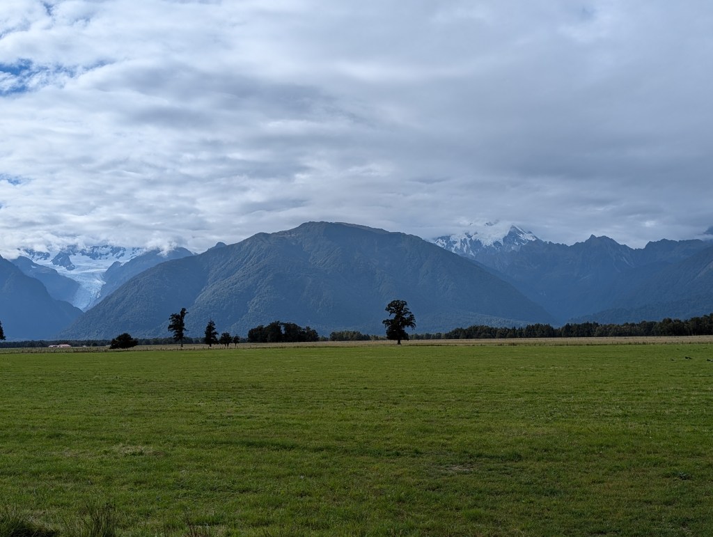
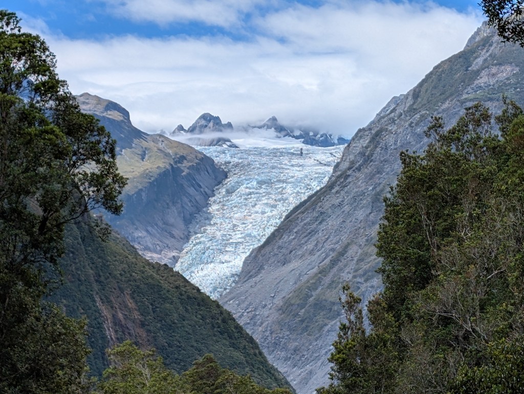
The Fox Glacier is on the left in the photo. We retraced our steps back to the small town and around the corner to a huge parking lot. We could tell this was going to be a very popular hike. The Fox Glacier hike goes to where the glacier used to go (it’s receded). We were one of the few that turned off this main “trail” (like a large gravel road) to the Moraine hike. This ended up being our favorite as it traced the path of where the glacier was had been until it began receding 18,000 years ago. At different points along the trail are signs that chronicle where the glacier had ended at different points (1600s, 1750, etc).
The hike was extremely touristy at the beginning. In fact, we were shocked by how big and busy the trailhead was. Once we set off, though, it seemed like many people skipped the Moraine Hike (our favorite) to beeline it up to the glacier viewpoint. We picked the Moraine arm based on fewer people heading that way and were amazed by how wonderful it was. In fact, a woman stopped us on the way out and asked if it was worth it. We told her emphatically yes and then she kindof shrugged her shoulders and continued on the not-beautiful main “trail” that was a large gravel parking lot. If you’re reading this and wondering if the Moraine arm is worth it: yes. It really doesn’t add anything to the hike in terms of effort or time. You’re just going to see more nature; hike a real trail; and experience what you set off to do (hike).
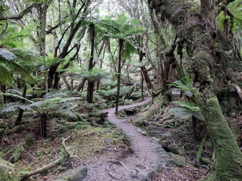
The Moraine arm was so thick that you could go around a switchback and be entirely unable to see the switchback behind you. Here is Chris photographing me from one side to the next along the trail. This is a thick (thicccc) forest. In fact, this forest is what Antarctica would look like if it hadn’t gotten all snowy and icy.
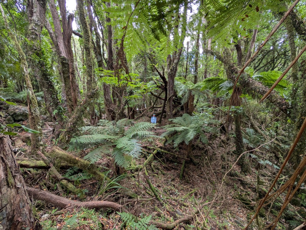
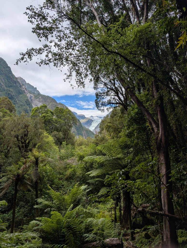
The Moraine trail met back up with the tourist through-way and we made it to the overlook. This was absolutely beautiful but I do have to complain about the hundreds of helicopters flying tourists to get closer to the glacier. Not only was it obnoxious to hear, it’s wildly unnecessary to see it closer. It’ll be gone soon, anyway. Maybe, just maybe, the helicopters are making it… I don’t know, worse? Helicopters can use nearly 90% more fuel than a car. The irony is not lost on us, that wanting to see something that’s disappearing is making it go away faster. Yet tourists will continue to demand to get closer. We had also just come from an area which a memorial to people killed in a tourist helicopter crash so we were really surprised by how critical helicopter tourism seemed to tourists. The viewpoint hike we hiked actually used to be the terminus of the glacier and now it’s receded (melted) over a mile since 2007. Even looking at the photo below you can barely see the glacier.
On another note, as (former) park rangers, we were delighted by a huge cardboard cutout of a ranger holding his hand out with a stop gesture. The sign said: stop, if you do choose to go out there you could die and it will be your fault. I truly love the safety warnings in other countries. The most recent flooding in Nepal was actually caused by this. As a huge piece of glacier fell off, it registered as a 5.2 magnitude earthquake and caused glacial flooding. A cardboard cutout of a ranger couldn’t have saved anyone from what happened in Nepal, but we appreciated the signage in New Zealand, at least.
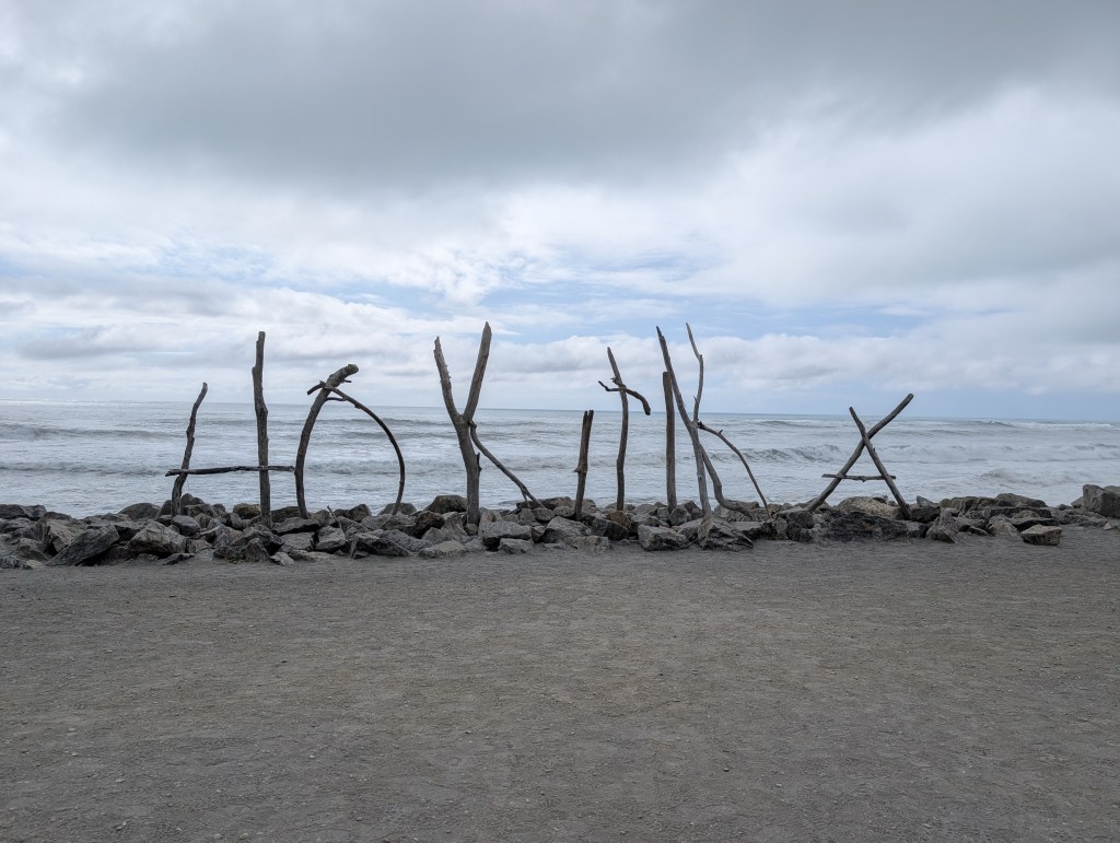
We hiked back down and hopped back into our rental car. We went to Franz Joseph Glacier (an uber touristy town we had been completely unaware of despite planning the trip meticulously). There were loads more options for hiking and exploring but we had a 120 mile drive that day. We also considered paying $40NZD each to see some kiwi birds but thought better of it. We did, however, stop in Hokitika, a cute seaside town and spent some time exploring and seeing the amazing driftwood art.
We ended this day in Greymouth, a town that felt primarily like a blue collar community. We walked to the Greymouth Brewery and sampled a flight. Children who had only just met each other ran amok and played in and around the parking lot. It reminded us immensely of our childhoods in the 90s where your parents would do something boring for a long time and you would go find a gang of other children to explore/play/cause trouble with.
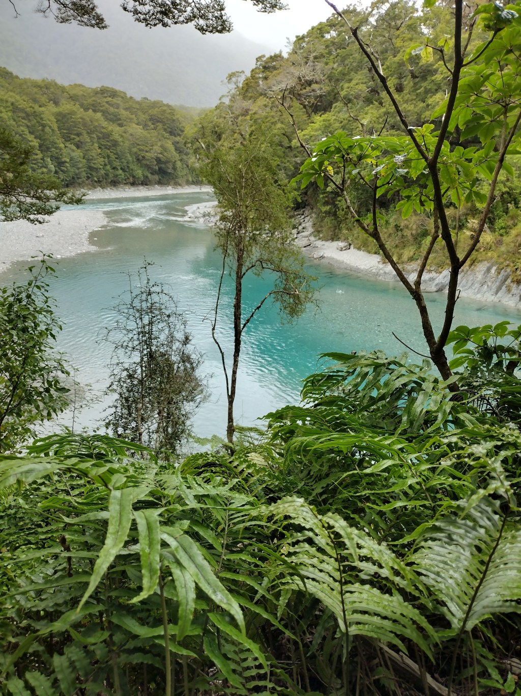
The following day, we drove 194 miles west to east across the Southern Island. This is one of the hardest part of New Zealand trips, you want to see everything because it’s (more than likely) a once in a lifetime trip but to see everything you need time. But not a helicopter, I’m still going to die on that hill. This is why a lot of people end up just seeing just one of the islands. We continued to split our time driving and playing passenger princess. We stopped at anything that peaked our interest. This ended up being a mining bridge, suspension bridge and a few Department of Conservation hikes (more like 5 minute strolls) to see a river or jungle. Our final destination for this day was Renwick, in the heart of Marlborough wine country.


Leave a Reply